Back to Home
Geography & Economy
The Central Province
Discover the crown jewel nestled deep within the mountainous heart of Sri Lanka.
Nuwara Eliya is the administrative and geographical crown of the Central Province, situated at a breathtaking elevation of 1,868 meters (6,128 feet).
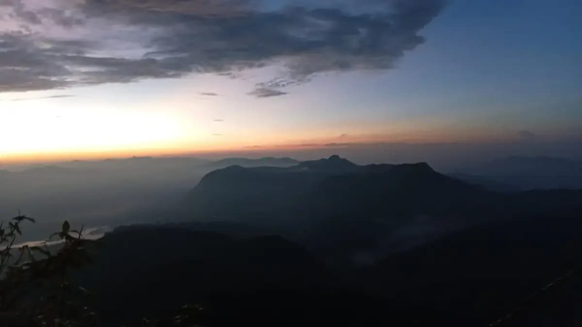
As the highest town in Sri Lanka, it is nestled in a rugged, mist-wrapped valley beneath Pidurutalagala, the island's tallest mountain at 2,524 meters. This dramatic topography serves as a critical watershed for the nation's major rivers, most notably the Mahaweli, which begins its journey here before carving its way across the island. Historically, the steep, densely forested mountainous terrain of the Central Province provided a formidable natural bastion that protected the inner Kandyan kingdoms against coastal colonial invasions for centuries.
Today, its cool, temperate climate stands in sharp contrast to the scorching tropical lowlands, making it an irreplaceable ecological and agricultural hub. Beyond its world-famous tea, the incredibly fertile valleys surrounding Nuwara Eliya serve as the country's primary source for temperate vegetable farming. Expansive terraced farms cascade down the hillsides, continuously supplying markets nationwide with potatoes, leeks, cabbage, carrots, alpine strawberries, and vibrant exotic flowers.
Geography
The Central Massif
A dramatic landscape of towering peaks and deep valleys that defines the island's weather and water systems.