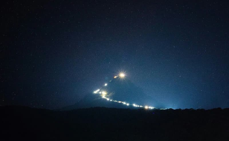
Rising to 2,524 meters, Pidurutalagala (Mount Pedro) is the island's tallest mountain. While the summit is a high-security communications zone, the lower slopes offer breathtaking views and represent the geographical crown of the district.
The Central Province is the geographical and cultural anchor of Sri Lanka. From the highest peaks that touch the clouds to the deep valleys that nourish the island's major rivers, this region represents a unique intersection of natural majesty and strategic importance.
Top 10 Highest Peaks in Sri Lanka
Data source: Wikipedia & Geonames
| Rank | Peak Name | Elevation | Latitude / Longitude | Province |
|---|---|---|---|---|
| #1 | Pidurutalagala | 2,524 m | 7.001 / 80.772 | Central Province |
| #2 | Kirigalpota | 2,388 m | 6.799 / 80.764 | Central Province |
| #3 | Adam’s Peak | 2,243 m | 6.809 / 80.497 | Sabaragamuwa Province |
| #4 | Kikilimana | 2,240 m | 6.984 / 80.744 | Central Province |
| #5 | Conical Hill | 2,166 m | 6.912 / 80.774 | Central Province |
| #6 | Mahakudagala | 2,100 m | 7.043 / 80.842 | Central Province |
| #7 | Single Tree Hill | 2,100 m | 6.957 / 80.76 | Central Province |
| #8 | Water Fall P. T. New | 2,076 m | 6.931 / 80.758 | Central Province |
| #9 | Namunakuli | 2,036 m | 6.933 / 81.114 | Uva Province |
| #10 | Elbedda | 2,016 m | 6.846 / 80.663 | Central Province |